|
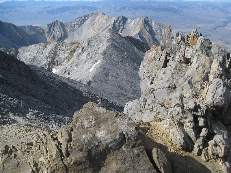 |
| About half way up the last slope to the top. You can see our trail at the top of the near vertical snow field on the lower part of the forground peak. Chicken Out Ridge is the dark section of the ridge over the top of the forground peak. |
| Camera: Canon PowerShot SD850 IS | Date: 8/25/08 12:22 AM | Resolution: 2592 x 1944 | ISO: 80 | Exp. Time: 1/160s |
| Total images: 44 | Last update: 9/14/08 9:16 PM | Help |